His Church at Summer Lake Observatory
His Church is planning to build an observatory and lookout overlooking the property and the whole Summer Lake Basin. It will be a place to observe the night skies and see the entire valley and will include rustic camping shelter from the wind. It will eventually have its own wind and solar sources of power and will be used by residence of the Church and guests for its solitude and panoramic views.
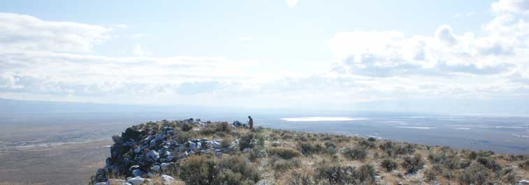
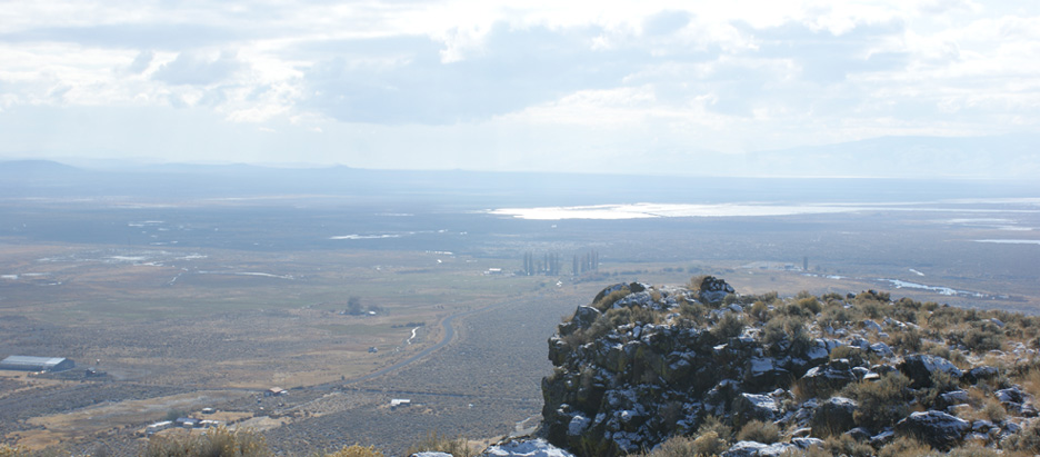
This is a picture of Observatory Point high upon Kleppel Butte Looking south from the west property line adjoining BLM.

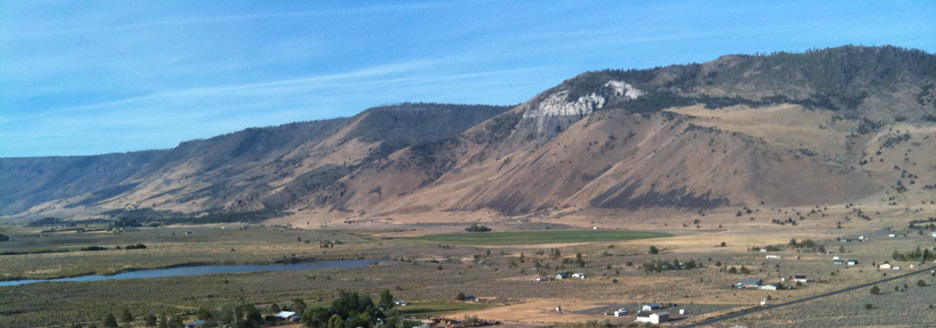
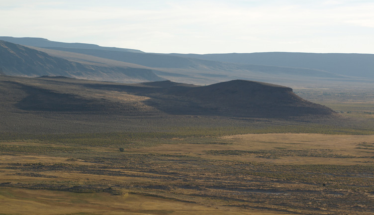
The picture to the left is taken 1/2 mile from the Northwest corner and 3/4 of a mile from the South West corner along the West boundary of the His Church property looking South South West toward Observatory Point.
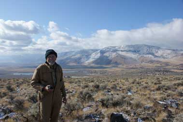
The picture to the right is Brother Gregory standing on the construction site of the Observatory. It shows the view to the West South West toward White Rock and Dead Indian Mountain which is seen in the center with Ana Lake Reservoir in the left corner.
The Views
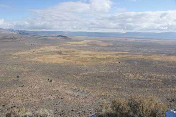
This view is looking West by Northwest toward the meadows and hayfields of the His Church at Summer Lake. The meadows fed by wells and springs is seen in the center. Between the meadow and the gravel pit at the bottom of the picture the north south driveway cuts across the picture and then turns east toward the Church headquarters and livestock corrals.
From the Observatory the view is 360 degrees including Squaw Peak, Dead Indian, Winter ridge and Fremont National forest as well as south to wildlife refuges and the Summer Lake Basin.
The Trail
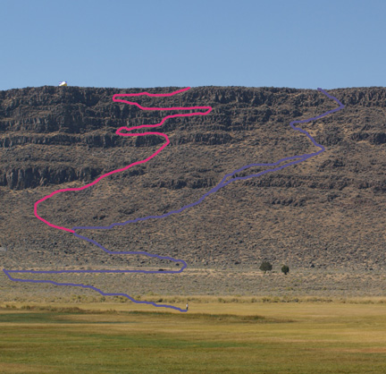
To the left is the proposed trails to the top of Klepple Butte for the purpose of accessing the observatory.
The blue trail can be built mostly by hand with little rock removal or alteration. The red line is much more difficult to build and it will require serious effort to break and remove rock, brush and many other obstacles.
the proposed observatory and over night shelter can be seen on the rim.
This project will require yearly maintenance. The trail will be required to access the property on the rim where prayer shelters and sites can be located.
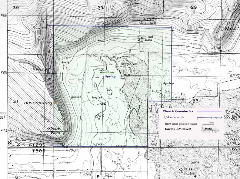
Below are maps of the property to determine locations and directions.
Maps
|